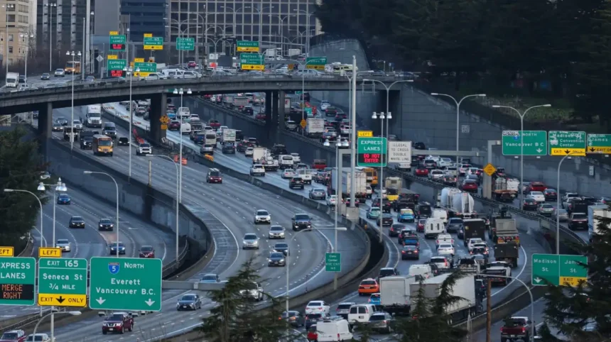
Seattle’s traffic congestion has become a significant challenge in recent years. In 2024, Seattle ranked as the 10th most congested city in the U.S. and 23rd globally, with drivers losing an average of 63 hours to traffic delays annually. This increase in congestion is partly due to a 9% rise in time lost to traffic from 2023 to 2024, reflecting a broader trend of more people returning to in-person work and less telecommuting compared to previous years. The Seattle-Everett-Bellevue metropolitan area experiences some of the worst traffic conditions nationally, with congestion worsening during peak hours.
Importance of Understanding Traffic Patterns
Understanding Seattle’s traffic patterns is crucial for commuters, city planners, and policymakers. Insight into traffic trends helps in developing strategies to mitigate congestion, improve travel times, and enhance road safety. It also supports informed decision-making regarding infrastructure investments and traffic management initiatives, ensuring smoother transit for residents and visitors alike.
Factors Influencing Seattle Traffic
Geography and Urban Layout
Seattle’s unique geography, characterized by water bodies, hills, and limited bridge crossings, heavily influences traffic flow. The city’s urban layout funnels much of the traffic onto a few major corridors, intensifying congestion during peak times.
Population Growth and Urbanization
Rapid population growth and urbanization in Seattle and surrounding areas have increased vehicle volumes on city streets and highways. This growth contributes to higher demand on transportation infrastructure, leading to more frequent traffic jams and delays.
Major Roadways and Highways
Interstate 5 (I-5)
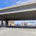
Interstate 5 (I-5) is the primary north-south freeway running through Seattle, connecting the city to Everett in the north and Tacoma in the south. It is a critical artery for commuters and freight traffic but is often plagued by congestion, accidents, and closures. For example, a recent semi-truck crash on I-5 in North Seattle blocked all northbound lanes and multiple southbound lanes, causing significant delays and requiring drivers to seek alternate routes.

Interstate I-90
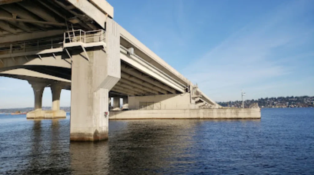
Interstate 90 (I-90) serves as a major east-west corridor connecting Seattle to Bellevue and beyond. It is vital for cross-city traffic and freight movement. WSDOT recently conducted a five-day closure of State Route 18 beneath the I-90 bridges to install new infrastructure, which affected traffic patterns and required detours.
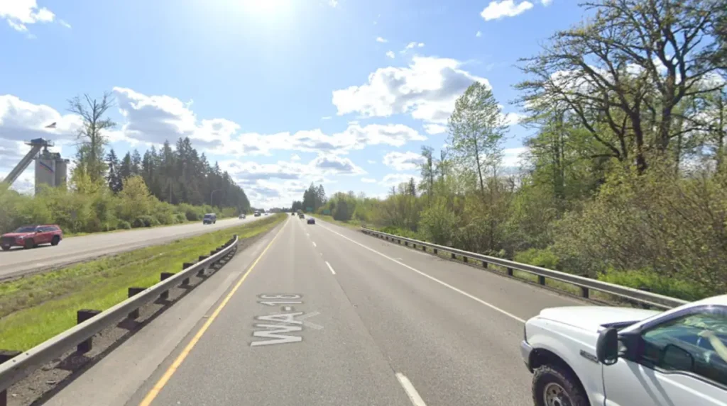
Highway 18
Highway 18 connects to I-90 and serves as a key route for traffic moving between Seattle and southeastern suburbs. Its temporary closures and construction projects, such as the recent work under the I-90 bridges, impact regional traffic flow and require careful management.
WSDOT Traffic Management
Role of WSDOT
The Washington State Department of Transportation (WSDOT) plays a central role in managing traffic across Seattle and the broader state highway system. WSDOT operates six Traffic Management Centers (TMCs) around Washington, including one in Shoreline near Seattle, which monitor traffic conditions 24/7. These centers coordinate incident responses, manage traffic flow through ramp meters and reversible lanes, and provide real-time travel information to the public.
Traffic Cameras and Monitoring
Seattle Traffic Cameras
Seattle utilizes a network of traffic cameras operated by both the Seattle Department of Transportation (SDOT) and WSDOT. These cameras provide live feeds to monitor traffic conditions, detect incidents, and inform travelers. The city’s traffic cameras are accessible through online platforms and help commuters plan routes by offering real-time visuals of congestion points.
WSDOT Cameras I-90
WSDOT maintains traffic cameras along I-90 and other major highways, offering continuous updates on traffic conditions. These cameras are critical during incidents and construction projects, such as the SR 18 closure near I-90, helping drivers navigate detours and avoid delays.
Current Traffic
Daily Traffic Patterns
Seattle experiences predictable daily traffic patterns, with heavier volumes during morning and evening rush hours. Traffic volumes have increased steadily over the years, with a 3.6% rise in vehicle counts from 2017 to 2018, reflecting ongoing growth in the region.
Rush Hour Dynamics
Rush hour in Seattle typically sees severe congestion on I-5, I-90, and other major routes. The return to office work has intensified these peak periods, with drivers losing more time in traffic compared to previous years. Avoiding rush hour or adjusting work schedules can significantly reduce commute times.
Impact of Accidents on Traffic Flow
Accidents on major highways like I-5 can cause significant disruptions. For instance:
- I-5 Northbound Accident Today: A semi-truck crash near Northgate Way blocked all northbound lanes, leading to major delays and requiring detours.
- I-5 Southbound Accident Today: Similar incidents on the southbound side also cause lane closures and slowdowns, compounding congestion during peak travel times.
Strategies for Navigating Seattle Traffic
Real-Time Traffic Maps
Utilizing real-time traffic maps is essential for navigating Seattle’s congested roadways. The Seattle Department of Transportation offers an interactive traffic map showing live traffic conditions, incidents, and camera feeds, enabling drivers to make informed route choices.

Seattle Traffic Map
The Seattle traffic map integrates data from WSDOT and SDOT cameras, providing comprehensive coverage of traffic conditions across the city and surrounding highways. This tool helps commuters avoid bottlenecks and plan alternate routes during incidents or construction.
WSDOT Traffic Alerts
WSDOT regularly issues traffic alerts regarding accidents, closures, and construction projects affecting Seattle and the region. These alerts are disseminated through variable message signs, social media, and official websites, helping drivers stay updated and adjust their travel plans accordingly.
Tips for Commuters
- Avoid I-5 Seattle Traffic During Rush Hour: If possible, schedule travel outside peak times to reduce delays.
- Use Smaller Vehicles: Smaller cars can ease parking challenges and maneuver through congested areas more efficiently.
- Consider Alternative Routes: Explore routes other than I-5, such as using I-90 or surface streets, especially during incidents or closures.
Alternatives to I-5
Given the frequent congestion and accidents on I-5, commuters are encouraged to consider alternatives like I-90, Highway 18, or public transit options to bypass traffic hotspots.
Evading Tacoma Traffic
Tacoma traffic, while less severe than Seattle’s, can also affect commuters traveling southbound on I-5. Monitoring Tacoma traffic conditions via WSDOT cameras and alerts can help drivers avoid delays and choose better routes.